DEHRADUN/SHIMLA: A scientific study highlighting continuing tectonic activity along the Main Boundary Thrust (MBT) in the Dehradun region has raised serious questions over whether critical geological findings are reaching governments and disaster-management authorities in time.
Findings accessed by Himbumail reveal that researchers associated with the Wadia Institute of Himalayan Geology (WIHG) have documented multiple geological and geomorphological features indicating continuing tectonic deformation along nearly 35 km of the MBT between the Tons and Song river valleys.
The study, published in Progress in Physical Geography: Earth and Environment in June this year, records fault scarps, sheared rocks, fault traces, palaeo-sag ponds and structurally controlled drainage systems, all pointing to an actively evolving landscape.
Researchers have identified north-dipping fault scarps and highly sheared Upper Siwalik conglomerates, while three parallel fault traces extending for around 1.5 km have been mapped in the hanging-wall region. Fault-related features have also been documented around Kalawa-Kalsi.
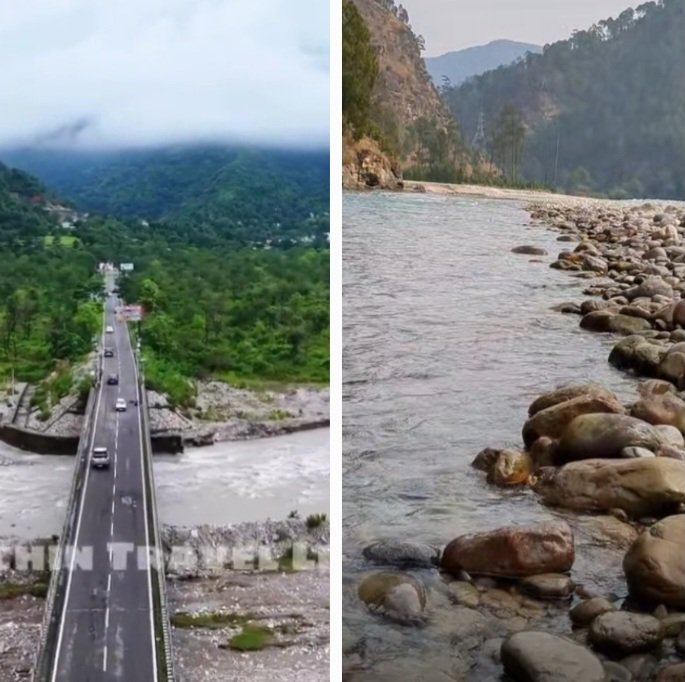
The study also finds that rivers and drainage systems in the region bear the imprint of tectonic forces. Palaeochannels, incised channels, radial and structurally controlled drainage, along with wind gaps exceeding 1.5 km, indicate continuing interaction between tectonic movements and surface processes.
Research Published, But No Alert Yet
Though the research was published in June this year, officials familiar with the matter told Himbumail that the Wadia Institute has so far neither sounded any specific public alert on the findings nor formally shared the study with the Uttarakhand Government.
The revelation raises an important question: if scientific research identifies continuing tectonic activity along a major Himalayan fault system, how quickly should such information reach governments responsible for infrastructure, disaster management and public safety?
The study does not predict an imminent earthquake, nor does it suggest that a major disaster is about to occur. Its importance lies instead in demonstrating that the Himalayan terrain remains tectonically active and continues to evolve.
Warning For All Himalayan States
The implications extend far beyond Dehradun.
The Main Boundary Thrust forms part of the larger tectonic architecture of the Himalayas, making the findings relevant to the wider Himalayan belt. States and Union Territories including Himachal Pradesh, Uttarakhand, Jammu and Kashmir, Ladakh, Sikkim and Arunachal Pradesh need to look at such research not as isolated academic findings but as critical inputs for long-term risk planning.
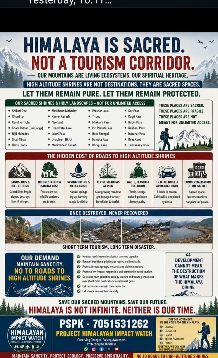
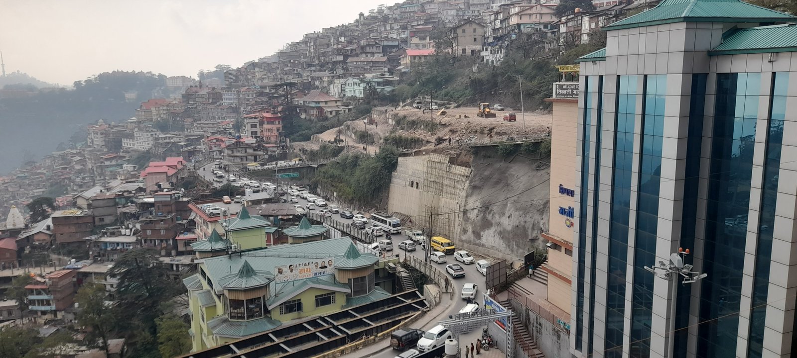
The Himalayas are a young and dynamically evolving mountain system. Earthquakes, landslides, river erosion, slope instability and tectonic deformation interact with an unprecedented expansion of roads, tunnels, hydropower projects, townships and tourism infrastructure.
That makes the scientific message particularly important: the terrain on which Himalayan development is taking place is itself continuously changing.
Development Must Listen To Geology
The findings underline the need for comprehensive active-fault mapping, geological investigations, slope-stability assessments and tectonic-risk evaluation before major infrastructure is planned in vulnerable Himalayan corridors.
Himalayan governments must also ensure that important scientific research does not remain confined to academic journals. Studies identifying active geological processes need to be systematically shared with state governments, disaster-management authorities, planners, infrastructure agencies and local administrations.
For Himachal Pradesh in particular, the findings should prompt a wider review of vulnerable valleys and infrastructure corridors. The question is not whether the geological conditions of Dehradun can simply be replicated elsewhere, but whether the scientific approach used to identify tectonic activity is being adequately applied across the Himalayan states.
The Wadia Institute's research therefore deserves to be viewed as more than another academic paper. It is a reminder that the Himalayas are not static mountains—they are a living, evolving geological system.
If the science is showing that faults are active, rivers are responding and landforms are being reshaped, governments need to factor that evidence into development decisions before disaster exposes the cost of ignoring it.
The Himalayas are already sending geological signals. But a Himalayan question: Are the governments are listening.