

A Big Step in Mapping Disasters in Himachal.
Shimla, December 12
Himachal Pradesh has taken a major digital step in modern mapping and disaster planning.
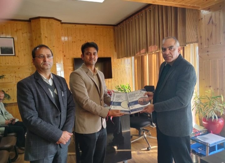
Additional Chief Secretary (Revenue) K.K. Pant on Friday released the Geodetic Assets Register and Geodetic Map of the state.
The documents were prepared and presented by Gaurav Kumar Singh, Director of the Geospatial Directorate for Punjab, Haryana, Himachal Pradesh and Chandigarh.
In simple terms, geodetic assets are fixed reference points on the ground that help in accurate mapping, land measurement, and monitoring land movement.
These are crucial for a hill state like Himachal where landslides, sinking zones, and fragile slopes need constant scientific tracking.
The state’s new register has classified these assets into six categories:
Continuous Operating Reference Stations (CORS) – high-precision GPS stations that work 24/7 to monitor land movement.
Great Trigonometric Survey Stations – historical survey points used since the British era for accurate mapping.
Ground Control Points – marked locations used as anchor points for satellite mapping.
Magnetic Reference Stations – areas that record Earth’s magnetic field for scientific studies.
Gravity Reference Stations – points where Earth’s gravity is measured to understand underground structures.
Leveling Benchmarks – fixed marks that help measure height and land elevation.
Pant said the new map gives clear and detailed information about these scientific assets across Himachal.
Given the state’s fragile terrain and frequent disasters, this data will help prepare better disaster management and mitigation plans.
He added that the state government is focusing on environment-friendly and well-planned infrastructure, and this register will guide engineers, planners, and researchers in creating safer structures.
The Revenue Department is also heavily using modern technology. Village maps and land records are being uploaded on the Bhu-Naksha portal for public access, and the same system is being used for the Swamitva project, which aims to digitally map rural land ownership.
Special Secretary (Revenue) D.C. Rana and other senior officials were present at the event.