
Lahaul and surrounding areas have experienced significant snowfall, with reports indicating depths of over four feet in Sissu alone.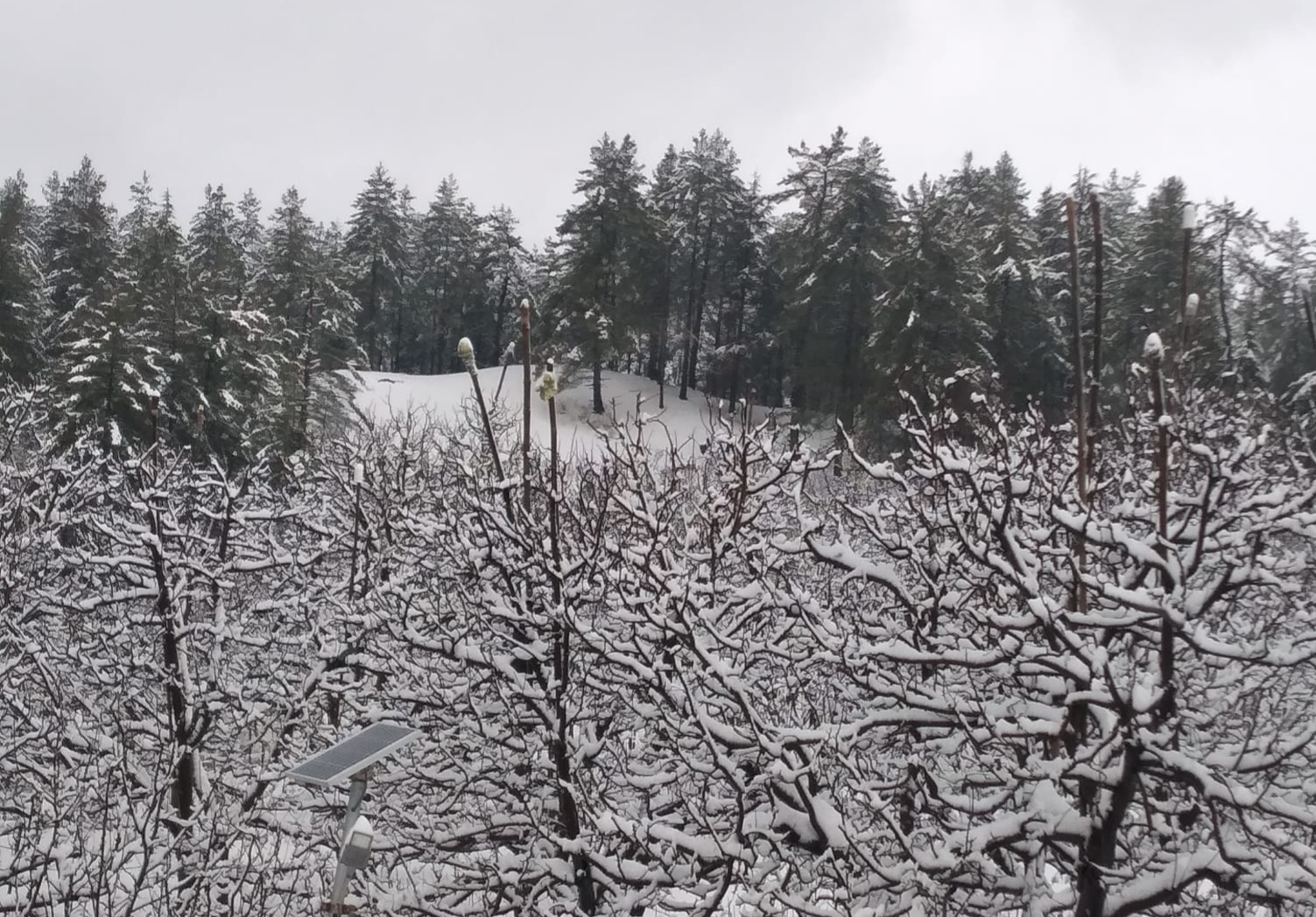
This heavy snowfall has extended to Kharapthar, Baghi, Khadrala, Khirki, Charki, and more regions, painting the landscape in a pristine white blanket.
The temperature in Lahaul and neighboring areas has dropped significantly, with Keylong recording the lowest minimum temperature at -4.5°C. Despite the cold, the snow and rain showers have brought cheer to both farmers and tourists alike.
The weather conditions are attributed to a fresh Western Disturbance expected to impact the Western Himalayan Region starting from March 5th.
This disturbance has not only brought heavy snowfall but also rains across the affected areas. Snowfall measurements include:
- Khadrala: 62.0 cm, - Sangla: 52.5 cm, - Gondla: 45.0 cm, - Kukumseri: 44.8 cm,- Keylong: 38.0 cm.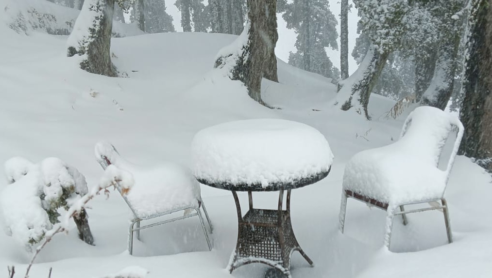
The Western Disturbance, currently characterized as a cyclonic circulation over East Afghanistan and neighboring regions, is forecasted to move towards the affected areas, continuing its influence with more snow and rain in the coming days.
The induced Low-Pressure Area over northwest Rajasthan and associated cyclonic circulation persist, contributing to the weather conditions.
These precipitation events are expected to replenish glaciers and rivers, which bodes well for power projects not only in Himachal Pradesh but also in Ladakh and Uttarakhand.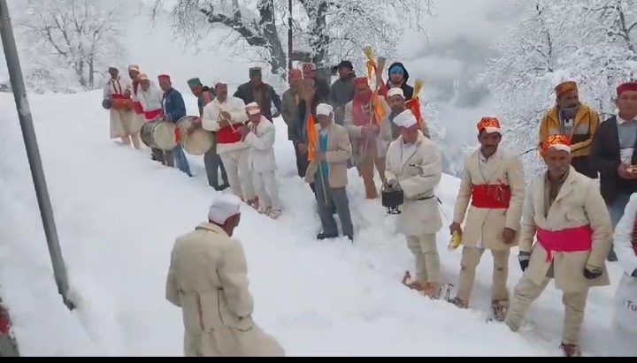
Gondla in Lahaul-Spiti has seen over 3 feet of snow, halting traffic on the Manali- Atal Tunnel route. Shimla's Khirki and Chharki in Chopal, Kharapather, Singri in Rohru, Baghi Khadrala in Kotkhai are also drapped in over 62 cm to 20 cms of snow.
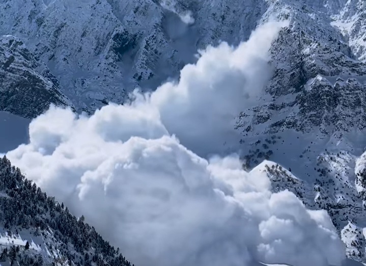
The avalanche struck Solang nalla area in uphill of Manali where six vehicles were buried under the debris, but no loss of life was reported.
The wet spell is expected to persist for the next 12 to 24 hours, with thundershowers and gusty winds of 40-50 kmph in the plains and low to mid hills.
Meteorologists predict a gradual decrease in activity from tomorrow morning, with significant reductions by tomorrow evening.
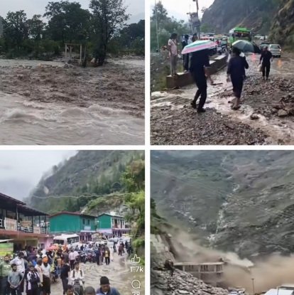
Himachal Pradesh faces disruption, but resilience prevails as communities brace for further challenges.
With heavy snowfall the danger of avalanche has also increased in the coming days.