
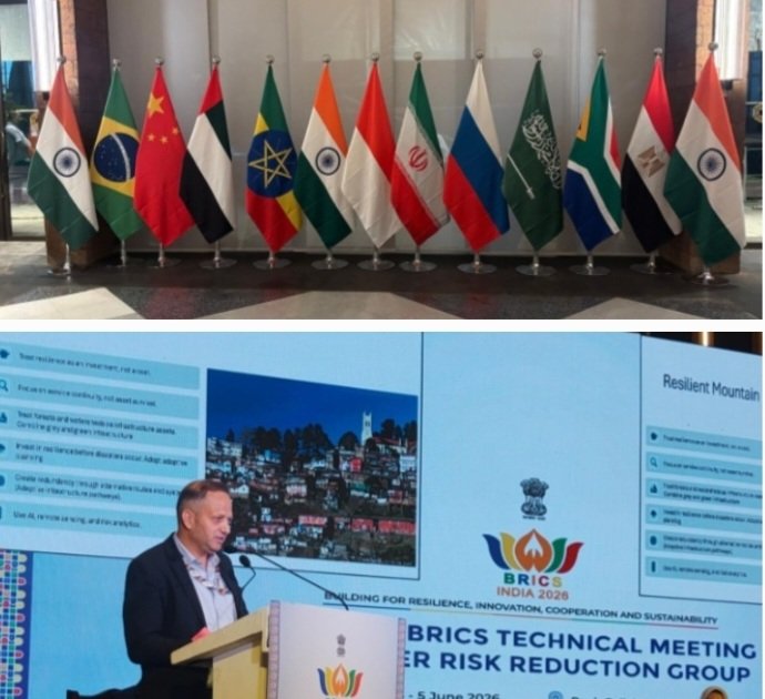
BRICS Applause Won't Stop the Next Cloudburst: Himachal and Uttarakhand Need Action, Not More Presentations
SHIMLA: Himachal Pradesh's showcase of its GIS-driven Urban Resilience Platform at the BRICS Technical Meeting on Disaster Risk Reduction in Puri earned attention for its use of drones, artificial intelligence, geospatial mapping and data-driven governance.
The state informed delegates from BRICS nations that over 15,000 properties across 16 urban local bodies have been mapped to strengthen disaster preparedness and response.
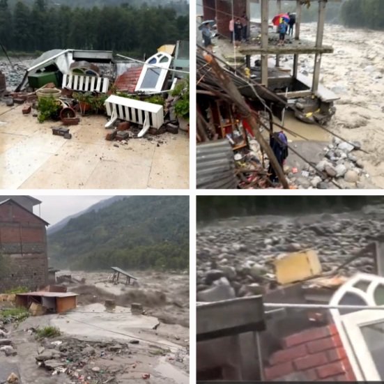
The presentation sounded futuristic. The mountains, however, tell a different story as you travel across through the ruins of cloudbursts-battered hills in Himachal.
For three consecutive monsoons—2023, 2024 and 2025—Himachal Pradesh witnessed devastating cloudbursts, flash floods and landslides that exposed the fragility of mountain governance.
Entire villages were cut off, highways collapsed, houses crumbled into rivers, and hundreds of families lost everything despite years of studies, reports and vulnerability assessments.
The uncomfortable question is simple: if governments, scientists, international agencies and NGOs already know where the danger lies, why do disasters continue to produce the same tragic outcomes every year?
The state possesses a Hazard Risk and Vulnerability Atlas. It has GIS platforms, satellite imagery, drone surveys and geospatial databases.
Yet the government has not publicly disclosed how many vulnerable buildings have been identified, how many unsafe settlements have been relocated, how many landslide-prone slopes have been stabilized, or how much disaster risk has actually been reduced.
Risk mapping is not risk reduction.
The figures themselves are alarming. Since 2018, Himachal Pradesh has recorded 148 cloudbursts, 294 flash floods and more than 5,000 landslides.
The disaster losses of 2023 alone were estimated at nearly ₹10,000 crore. Independent studies suggest that over 45 per cent of the state's geographical area faces high vulnerability to landslides, floods and avalanches.
Districts such as Shimla, Kullu, Mandi, Kangra, Solan, Kinnaur and Lahaul-Spiti repeatedly emerge as high-risk zones.
Yet construction continues on unstable slopes, roads are widened without adequate safeguards, and urban expansion often races ahead of geological realities.
The lesson is equally relevant for Uttarakhand.
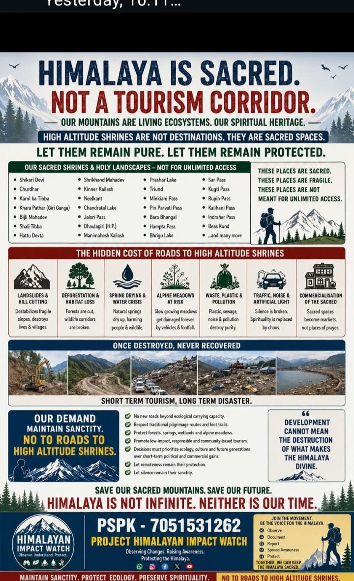
Both Himalayan states have become regular participants in conferences, workshops and international forums discussing resilience, climate adaptation and sustainable mountain development.
NGOs, environmental groups and climate experts frequently organize seminars, consultations and awareness campaigns on climate change and resilience.
Reports are released, recommendations are made, declarations are adopted and photographs are taken.
Yet every monsoon, the mountains deliver the same harsh reality check.
Disasters continue to strike. Roads continue to collapse. Rivers continue to breach their banks. Hillsides continue to slide. Communities continue to be displaced. In fact everything we talk about is becoming worse every year.
The gap between discussion and delivery remains painfully wide.
A GIS dashboard cannot stop a landslide. An AI model cannot stabilize a hill slope.
A climate conference cannot prevent a cloudburst from turning into a catastrophe.
An NGO workshop cannot replace concrete action on the ground.
Only hard decisions can. Both Himachal Pradesh and Uttarakhand need district-wise public disclosure of vulnerable sites, mandatory geotechnical audits before construction, relocation of highly exposed settlements, enforcement of building norms, functioning early-warning systems, and annual reports showing measurable reductions in risk.
The real question is no longer whether the hazards have been identified. They have.
The real question is whether governments can show evidence that vulnerability has actually been reduced.
How many risky buildings have been made safer?
How many vulnerable villages have been protected?
How many people have been moved out of harm's way?
How many disaster hotspots have been treated?
Until such answers are placed in the public domain, claims of resilience will remain difficult to verify.
The true test of resilience is not how many maps have been created, how many workshops have been held, how many NGOs have spoken about climate change, or how many conferences have been attended.
It is whether fewer roads collapse, fewer homes are destroyed and fewer lives are lost when the next cloudburst strikes.
Until governments begin publishing evidence of risk reduction rather than simply risk identification, "resilience" will remain a buzzword repeated in conference halls while mountain communities continue paying the price on the ground.
The Himalayas do not need another PowerPoint presentation. They need political will, scientific planning, accountability and action before the next monsoon arrives.
#HimalayanResilience #DisasterRiskReduction #ClimateAction #HimachalPradesh