
Shimla/Dehradun:
A new satellite-based study by researchers from the Indian Institute of Technology (IIT) Roorkee has detected a rapid expansion of glacial lakes across High Mountain Asia (HMA), warning that the growing number.
The size of these lakes could intensify the risk of Glacial Lake Outburst Floods (GLOFs) in the Himalayas.
Published in Scientific Reports on January 19, 2026, the study by Ravindra Kumar and Prof. Saurabh Vijay of IIT Roorkee presents a fully automated inventory of glacial lakes using high-resolution satellite data from Landsat-8, Sentinel-1, Sentinel-2 and Copernicus DEM.
According to the study, the HMA region now hosts 31,698 glacial lakes, covering an area of about 2,240 square kilometres, with an overall 5.5 per cent increase in lake area in eight years between 2016–17 and 2022–24.
“The rapid expansion of glacial lakes, particularly in the Eastern Himalaya, signals heightened risks of GLOFs, especially as climate warming accelerates glacier retreat,” the authors note.
Painful reminders from the Himalayas
The warning is not merely academic. India has already paid a heavy price to glacial lake disasters.
In Sikkim, a GLOF from South Lhonak Lake in October 2023 washed away the Teesta Stage-III hydropower project, killing dozens and destroying bridges, roads and settlements downstream.
Earlier, a GLOF from Pare Chu lake in China sent massive floods into the Satluj river, wreaking havoc in Kinnaur district of Himachal Pradesh, washing away highway at many places, bridges and power infrastructure.
The 2013 Kedarnath tragedy in Uttarakhand, though triggered by extreme rainfall, also exposed how fragile high-mountain systems can unleash cascading disasters with little warning.
The IIT Roorkee study highlights that regions such as Qilian Shan recorded the highest glacial lake expansion (22.5 per cent). The relatively stable regions like the Pamir showed minimal change.
Most lakes are concentrated between 4,000 and 5,400 metres above sea level, an elevation band that overlaps with many sensitive valleys and river origins in the mountains.
Technology versus local wisdom
However, mountain communities and environmental experts caution against viewing GLOFs purely through a high-tech lens.
“Glacial lake outbursts are not a new or mysterious phenomenon for Himalayan communities,” say local experts, pointing out that traditional knowledge has long recognised unstable lakes, seasonal water surges and sudden river behaviour.
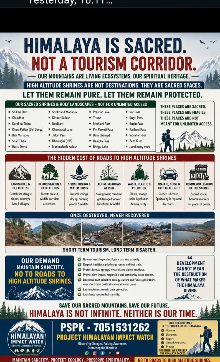
In many regions, villagers historically avoided settling along vulnerable river bends or lake outlets—wisdom that modern infrastructure planning has often ignored.
Examples are explicit in Kinnaur. The National Highway runs along the Satluj river. Local communities never settled along Satluj and instead Chose higher more stable elevations and valleys.
The study’s reliance on advanced satellite imaging and automated models has also sparked debate.
While the researchers achieved over 96 per cent accuracy in mapping small lakes and successfully delineated all large lakes, critics ask whether even the most sophisticated models can truly predict the behaviour of dynamic glacial systems.
“Calling these events ‘Himalayan tsunamis’ oversimplifies a complex, slow-evolving process,” an environmental analyst said.
“The real issue is how unplanned roads, hydropower projects and construction amplify the damage once a natural event occurs.”
The recent examples of flash floods and cloud bursts in 2023, 24 and 25 in Himachal more than substantiate this
Lakes closer home
India’s Himalayan states are home to several sensitive glacial lakes beyond those highlighted in recent disasters.
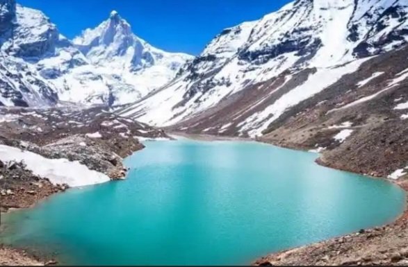
Chandratal in Himachal Pradesh, high-altitude lakes in Ladakh, and numerous glacial lakes in Sikkim and Arunachal Pradesh remain under constant watch by scientists and disaster managers.
Many of these lakes sit upstream of strategic roads, hydropower projects and border infrastructure.
The IIT Roorkee researchers argue that their automated method can help authorities routinely update glacial lake inventories, offering early warning inputs for disaster risk reduction for lakhs of people living downstream mainly the new urbanized settlements that have come up near highways and power projects.
“Our approach enables consistent, large-scale monitoring of glacial lakes, which is essential for risk assessment and long-term planning in mountain regions,” said Prof. Saurabh Vijay, who supervised the study.
The road ahead
While satellite science provides sharper eyes in the sky, experts stress that technology must be paired with local knowledge, cautious development and strict environmental regulation. Without that balance, warnings—however precise—may come too late.
As the Himalayas warm, glaciers will beat the retreat. The glacial lakes are expanding, risks are rising, and ignoring either science or traditional wisdom could prove costly.
After analysing and integrating evidence from more than 59 previous regional and global studies, IIT Roorkee Study results clearly show that glacial lakes across High Mountain Asia are expanding in both number and area, with an overall net increase of 5.5 per cent in lake area in recent years.
This rapid growth, particularly of small and newly formed lakes, underscores the urgent need for continuous, high-resolution monitoring to better assess evolving GLOF hazards in the Himalayas,” the IIT Roorkee study concludes.